Alert (09/10/2026): Our Parkersburg TV transmitter is undergoing maintenance for a few days and will not be operational. We apologize for any inconvenience.
All our programming is available via our TV livestreams on our website and WVPB Passport. Thank you for your patience!
Appalachians have always made use of the region’s wide variety of plants. A new book, called Appalachian Plants: In the Garden, In the Yard, and In the Wild, explores some of the history and lore of regional staples. It’s written by Linda Hager Pack and illustrated by Pat Banks. Inside Appalachia Host Mason Adams spoke with them.
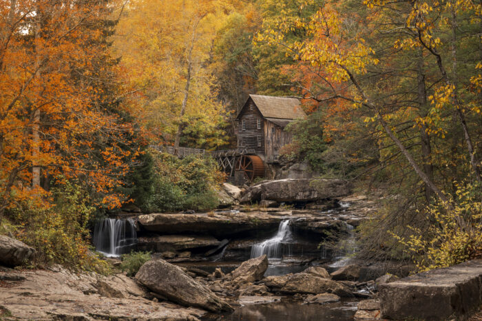
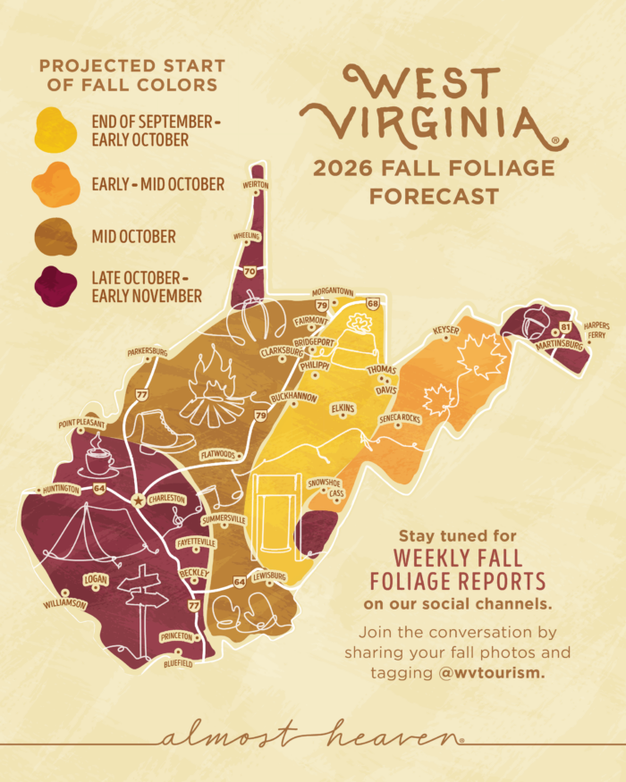
West Virginia is the third most forested state in the country. The map, a collaboration between the West Virginia Department of Tourism and the Division of Forestry, promotes the best places in West Virginia to see changing fall colors.
The prediction is based on historical data and environmental factors like rainfall and temperature.
New this year, the map will be updated weekly throughout the season, giving travelers the most accurate and up-to-date foliage information needed to plan the perfect fall trip.
Tourism is big business in West Virginia. The state government estimates it added $9 billion to the economy in 2024, with roughly $18 million spent daily by visitors last October.
In addition, the Department of Tourism has also announced a new Almost Heaven Swing BINGO Challenge specifically for the autumn season. The challenge invites travelers to visit the nearly sixty Almost Heaven swing locations across the state and check in on mobile devices to earn exclusive seasonal prizes.
The Fall Foliage Map promotes the best places in West Virginia to see changing fall colors. The map is a collaboration between the West Virginia Department of Tourism and the state’s Division of Forestry. Photo Credit: Courtesy of the West Virginia Department of Tourism
Add WVPB as a preferred source on Google to see more from our team
West Virginia has seen at least five major flood events over the last two years, but the head of emergency response in the state says changes coming to the Federal Emergency Management Agency (FEMA) are throwing a monkey wrench into federal support.
In 2020, the U.S. Navy commissioned a new aircraft carrier, CVN-81, and chose to name it after Doris "Dorie" Miller, but stories have surfaced recently of discussions about renaming it after President Donald Trump.