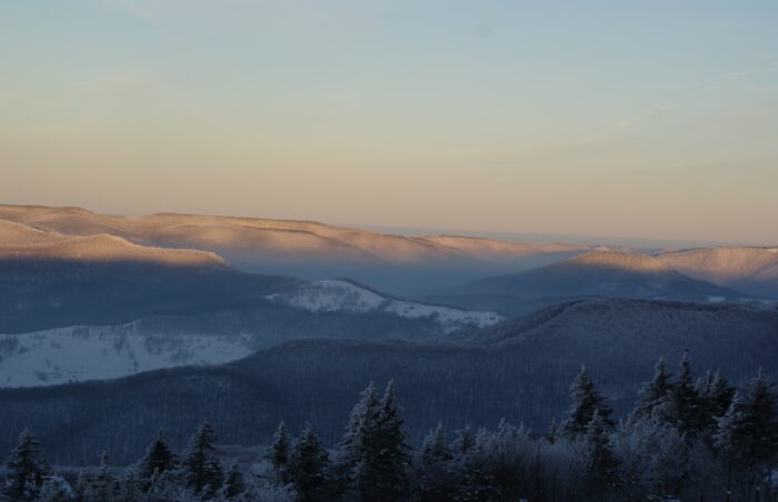
After weeks of deep freeze, temperatures are expected to spike into the 50s and 60s across the region Tuesday. As welcome as the warmth may be, it could cause some complications.
With several inches of snow and ice still blanketing the ground, the warming event is expected to create excessive runoff.
“Most of our weather observers… have been reporting anywhere between four to eight inches on the ground, but up in the higher mountains, it could be possibly more than that,” said Levi Cornett, a Charleston-based National Weather Service meteorologist. “It certainly poses a risk for excessive runoff, and that goes into the creeks and streams.
Cornett said people should stay alert for rising water levels, especially on low-lying roadways and homes.
“In West Virginia, we’re looking at the Tygart Valley River, just below the dam, the West Fork River, Middle Island Creek, and also kind of looking at having to monitor the Little Kanawha. Those are going to be our main sources to where we can see some possible issues,” he said.
He said the potential for flooding events is exacerbated by re-freezing overnight potentially creating ice blocks in waterways.
“It’s also going to create the hazard of black ice each morning, could cause some issues for commutes,” he said.
The potential for a wintry mix of rain and lake-enhanced snow showers through the week could enhance the runoff as well.