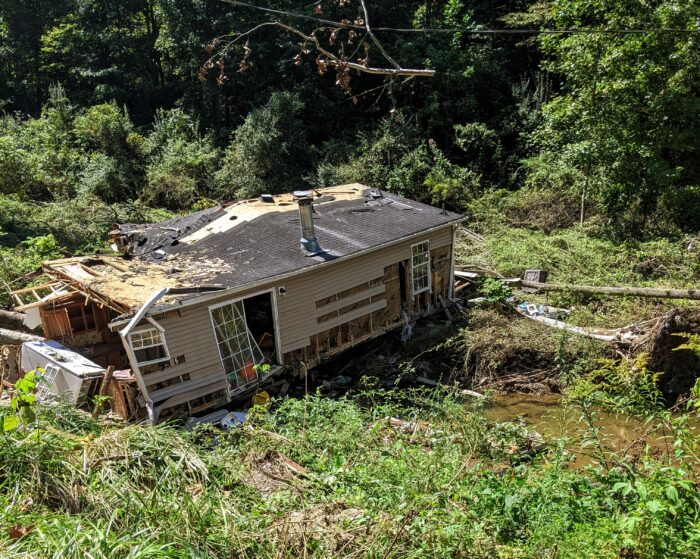
New data shows the Ohio Valley is one of the regions at greatest risk for severe flooding.
The Ohio River Basin could expect to see a flood every five to 10 years that once happened only once every century, according to the nonprofit First Street Foundation’s National Risk Assessment.
The report attributes the increased risk to warmer air that traps more moisture because of climate change.
A similar series of assessments by the National Oceanic and Atmospheric Administration do not take climate change into account and may underestimate the risk for more frequent and severe floods.
According to First Street, flood risk has changed from what it was and will continue to change because of the effects of climate change.
It also shows that much of the mid-Atlantic, New England and Gulf Coasts face the highest level of risk.
Add WVPB as a preferred source on Google to see more from our team