Two West Virginia firefighters died in the line of duty in 2023. A memorial service in Emmitsburg, Maryland next week will honor their legacies, as well as those fallen firefighters from across the nation.
W.Va. Analysts Develop New Tech To Visualize Flood Risks
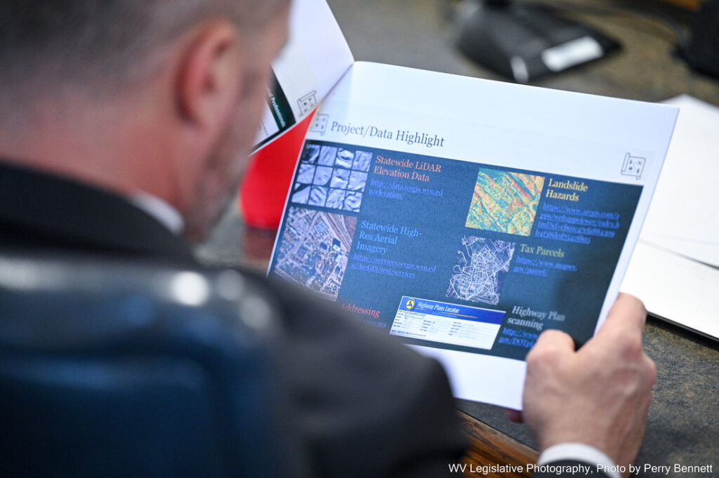
Del. George Street, R-Preston, reviews plans for new flood risk assessment technology at a Sunday meeting of the West Virginia Joint Legislative Committee on Flooding.Perry Bennett/WV Legislative Photography
Flooding events like these are familiar territory for many residents. According to the West Virginia GIS Technical Center, 286 communities across the state are located directly on flood plains — areas adjacent to waterways that can become inundated by rising water levels.
The center has long worked to identify flood risks through digital mapping software. On Sunday, state analysts presented new developments in this effort to the West Virginia Legislature’s Joint Legislative Committee on Flooding.
Currently, the center is working to strengthen local flood risk data and to create data visualization tools more easily understood by members of the public, according to Co-Director Aaron Maxwell.
Often, emergency management data comes from the federal level, which limits the level of detail available on the local level.
The center is working to update structural and flood plain data across the state to “support the public and flood plain managers in flood-prone communities,” and to develop a “higher grain of detail than what’s available with federal tools,” Maxwell said.
Last year, the center began developing the West Virginia Flood Resiliency Framework through a grant from the National Science Foundation (NSF). This has allowed the center to develop mapping and modeling tools on flood risk and resiliency across the state, Maxwell said.
Beyond modeling how waterways and properties would be affected by rising water levels, Maxwell said the center is also conducting a statewide survey to assess how residents feel about flood risks and recovery efforts in their community.
The center will then flesh out additional reports on flood risk preparedness locally, Maxwell said.
By providing resources like new data visualization software and survey reports to the public, Maxwell said the center hopes to bolster “data-driven decision-making in the state,” like corroborating emergency relief grant requests with concrete data.
Maxwell also said that the center has been working with West Virginia’s State Resiliency Office to compile these resources into a “one-stop shop for people to go to, to investigate their flood risk.”
This furthers the center’s goals of providing more accessible data for the public. Pulling it all together in one location is easier for every-day residents, like how 3D visualization tools are more easily understood than convoluted or industry-specific information, Maxwell said.
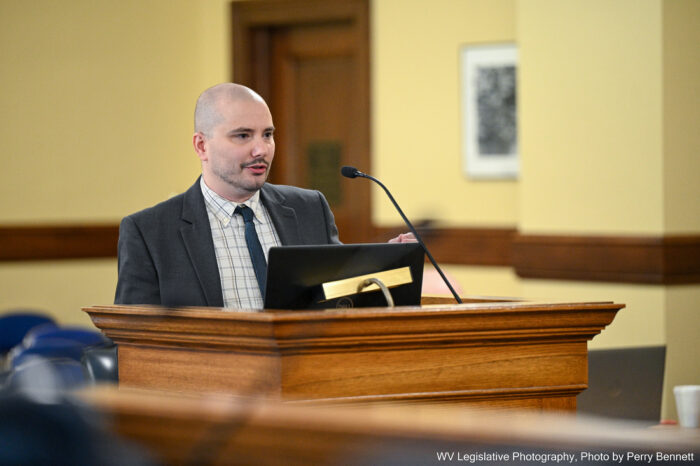
Aaron Maxwell, co-director of the West Virginia GIS Technical Center, speaks to members of the West Virginia Legislature Sunday.
Photo Credit: Perry Bennett/WV Legislative Photography
The center is also working to develop tools that can assess risks associated with flooding, like landslides.
Kurt Donaldson, geographic information system (GIS) manager at the center, said that landslides are the second most costly form of natural disaster to West Virginia, second only to flooding.
“Just where West Virginia is, with the steep slopes, landslides are always an issue,” he said during the committee meeting Sunday. “Sometimes they get categorized as flood-damaged structures when it was associated with a mudslide.”
Donaldson said that the center is developing a state landslide susceptibility grid.
Like the flood risk visualization maps, these aim to convey to local officials and members of the public emergency risks present in their communities. “It can be useful for identifying areas that are susceptible to landslides,” he said.
While the center will continue to work on the project in the coming months, Maxwell said their NSF funding ends in October, requiring sustainable, long-term funding resources to keep data up to date.
Sen. Chandler Swope, R-Mercer, said that flood risk management is often overlooked in financial discussions within the Legislature, which he views as an oversight.
“Flooding has been, in budget terms at least, virtually ignored for 100 years,” he said during Sunday’s meeting. “We’ve got the other highways, water, sewer, broadband, et cetera infrastructure, but flooding is not on our agenda as a major infrastructure need for West Virginia.”
Swope said that he and members of the Legislature should prioritize flood risk mitigation funding in upcoming financial discussions.
“As money becomes available after other infrastructure needs are met, I think we should give serious consideration to doing what we can for flood mitigation, and we’ll choose the highest priority places first,” he said.
Swope also said that preventing damages associated with natural disasters like floods would ultimately limit state spending on emergency response efforts.
“It’s not an expense that wouldn’t pay for itself with the proper application,” he said. “If this information had been available 100 years ago, there might be a lot of towns and cities that have a lot less damages due to floods.”
To participate in the West Virginia GIS Technical Center’s flood resiliency survey, visit the center’s West Virginia Flood Resilience Framework website.
For more information on local flood risk in West Virginia, visit the West Virginia GIS Technical Center’sWest Virginia Flood Tool.
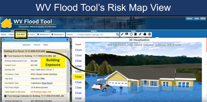
This 3D model from the West Virginia GIS Technical Center shows how rising water levels would affect a West Virginia home.
Image Credit: West Virginia Flood Tool/West Virginia GIS Technical Center
On this West Virginia Morning, the Jewish holiday of Passover is coming to an end. It is a time for celebration and reflection. This year, it has been a bit more difficult, according to Rabbi Victor Urecki from Charleston. He spoke with News Director Eric Douglas to discuss the holiday and the struggle with the war in Gaza.
On the same day the YWCA Charleston had a Race to End Racism in the capitol city, a group of men from the white supremacist group Patriot Front marched through the streets of downtown.
On this West Virginia Week, Earth Day was Monday. We’ll hear from a hydrologist about the state’s rivers. We’ll learn more about why two leading candidates for governor are trading accusations in ads over transgender youth. And we’ll visit a community in southern West Virginia affected by contaminated water.
A Boone County teen was found deceased in her home earlier this month. Police say she was emaciated to a near skeletal state. It's now come to light via a Freedom of Information Act Request filed by West Virginia Watch that the child was being homeschooled.