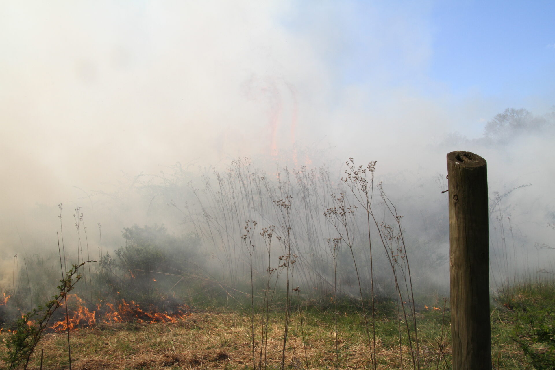
An estimated 20 wildfires, mostly in the southern region of the state, have caused the hazy smoky air that many are experiencing this Monday.
An estimated 20 wildfires, mostly in the southern region of the state, have caused the hazy smoky air that many are experiencing this Monday.
John Peck, a meteorologist with the National Weather Service, said he believes most of the fires are from a combination of weather patterns and human causes.
“We’ve had very dry conditions over the last six days with no measurable rain across most of West Virginia,” Peck said. “That’s allowed the leaves to dry out quite a bit. So, a combination of mostly human causes starts the problem with people burning leaves legally at night,”
In W.Va. it is legal to burn leaves from 5 p.m. to 7 a.m. However, if the fires are not distinguished properly, the leaves can reignite when the sun comes up and become larger uncontained fires. This is what Peck believes caused today’s fires and is common in the drier months of the fall.
“The important thing is that if you are burning legally at night, you need to make sure that’s completely out. And make sure it isn’t rekindled during the day,” Peck said.
These local fires are less likely to disturb residents’ airways and allergies than smoke that had traveled from further distances, like the Canadian wildfires this summer, he said.
“With the smoke being so local, the particle size is relatively big. It’s not like the really small stuff that gets down here from the distant wildfires,” Peck said. “So, if (residents) go outside and they are feeling an issue, just masking up will help take care of quite a bit of that”
The National Weather Service is expecting at least a few more days of dry, seasonally-warm weather, with rain expected to begin Thursday or Friday.
“We generally expect these kinds of nuisance fires to keep going for the next few days with relatively smoky air,” Peck Said.
Winds moving in through the week will help keep the smoke from accumulating and becoming denser throughout the week. As new weather fronts move in they will help mix up the smoke, Peck said.
“It’s just going to be the fires upstream of you. The winds, the smokes pooling down wind and it’s spilling into your face, basically. But it’s not going to accumulate. It’s just going to be stuff that’s being produced at the current time,” Peck said.
The Kanawha County Commission has requested the Division of Forest Management to issue a burn ban.
“We have grave concerns that additional forest fires will occur,” said the request signed by Commissioners Ben Salango, Kent Carber, and Lance Wheeler. “State Code prohibits outdoor burning from Oct. 1 through December 31 from 7 a.m. to 5 p.m. However, we believe an additional ban should be enforced.”