Agencies Brace For Flooding With More Rain On The Way

Many of the areas that saw flooding Monday are on track for more rain Tuesday and into the night. 

This is a developing story and may be updated.

Many of the areas that saw flooding Monday are on track for more rain Tuesday and into the night. 

Jennifer Berryman, a meteorologist with the National Weather Service, said light rain is expected thoughout the day in central and southern West Virginia with heavier rain possible into the evening. 

The Division of Emergency Management, National Guard, Metro 911, Emergency Operations Center and the National Weather Service are all standing by waiting to see what storms develop and where.

There is a 60-80 percent chance of rain over central, eastern and southern West Virginia. Berryman said that storms are tracking to cross over Charleston up to Clarksburg, and other cells to move over Fayette County down to McDowell County.

She said that the weather service still doesn’t know how much precipitation these fronts will deliver to those areas.

Kanawha County Commissioner Lance Wheeler was at the Emergency Operations Center at Kanawha County Metro 911 Monday and said that those agencies are fully staffed and ready to assist if another heavy rain does cause more flooding.

“The big question is — is the storm front going to move though or is it going to hover over the area and drop a lot of rain?” said Wheeler.

He said after four days of rain the soil is completely saturated.

“The ground can only take so much water,” Wheeler said. “When this rain comes a third time, it’s going to roll right off the hill and it’s going to fill in these valleys and this river, and it’s going to bring that water level even higher. So, what we could see is maybe less rain coming in, but more potential for hazard.”

Wheeler advised residents not to underestimate the potential danger and to have a plan for Tuesday evening if there are more floods.

“So, we told people, take this seriously, this isn’t like your casual floods that you’ve seen in the past. This is the most rain many of these areas have seen in a lifetime,” Wheeler said.

He encouraged residents to listen for flood alert sirens and stay vigilant of any flooding even if it is not yet at the door. He cautioned the water can rise quickly. He also advised to not cross any streams and instead call for a water rescue.

Wheeler said before they can start cleaning up and assessing damage, they are putting resources towards preparedness for another possible heavy rainfall.

West Virginia’s National Guard’s Edwin “Bo” Wriston said they are reaching out to see if they are needed for immediate help but are not doing damage assessments at this time.

Wriston said they are waiting to see what the storm front brings and if the governor calls them back into action.  
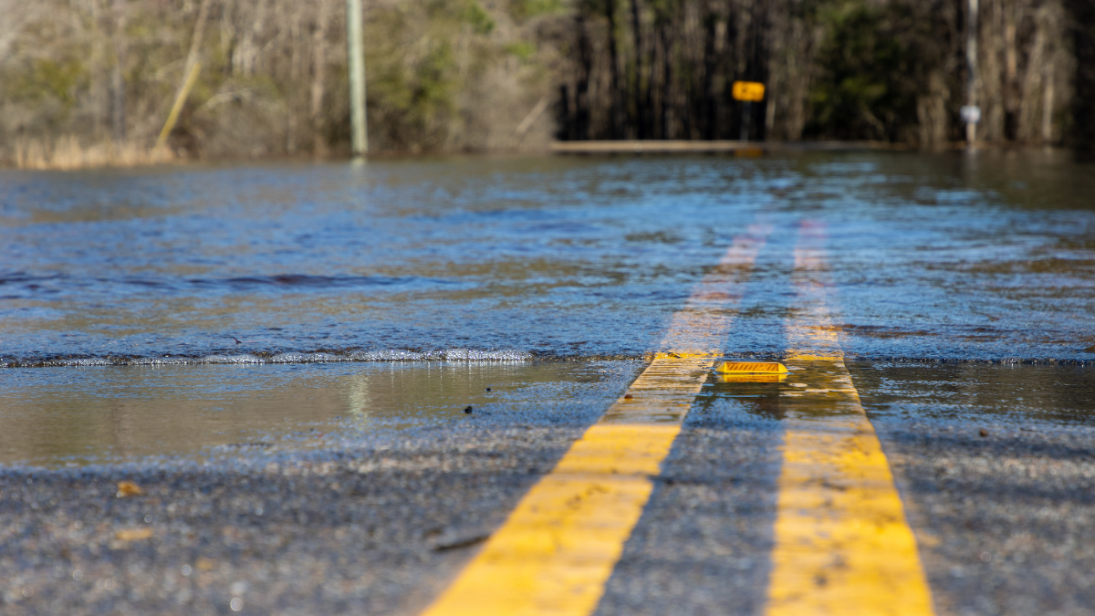
Flooded Communities Face Uncertainty With More Rain On The Way

Flooding throughout the day Monday caused significant damage to roads, houses and bridges in central and southern West Virginia. There have been no deaths reported so far due to flooding. Officials are still working to assess damage. Many houses were flooded, and some were washed away.

Updated on Monday, Aug. 28, 2023 at 6:30 p.m.

Flooding throughout the day caused significant damage to roads, houses and bridges in central and southern West Virginia.

There have been no deaths reported so far due to flooding. Officials are still working to assess damage. Many houses were flooded and some were washed away.

Communities along Witcher Creek, Slaughter Creek and Fields Creek saw some of the most significant flooding. Waters have  retreated back to creeks and rivers — where flows remain dangerously high. However, with more rain likely this evening and tomorrow, flood advisories remain active.

The National Weather Service said another inch of rain could be on the way Monday night.

Kanawha County Commissioner Lance Wheeler was at the Emergency Operations Center at Kanawha County Metro 911. He said fire departments in Charleston and Fayette and Cabell counties are waiting to see what the weather does, and where the water goes.

“Everybody’s still on standby. They are looking at what water is coming and what it’s going to look like and if there are going to be more evacuations necessary,” said Wheeler.

Wheeler said this amount of rainfall — 6-9 inches in affected areas — coupled with already saturated soil from a rainy weekend made the floods an especially dangerous situation.

“So, the flooding has been enormous at this point,” he said. “If there’s anyone out there who thinks that this is just a small flood that hit this area, they’re drastically wrong.” 

Kanawha County officials say that from 6:45 a.m., when the Kanawha County Metro 911 started receiving calls, until 4 p.m., there were more than 700 calls and 22 water rescues. Assessors have not released official numbers, but Wheeler said that around 60 homes were washed away in the floods.

Jenna Sigmon lives along one of the most heavily flooded creeks, Slaughter Creek, and said she is used to floods, but this one is one of the worst she has ever seen.

“It was like kind of crazy, because we just woke up this morning and there was massive floods,” she said. “And the water came up over the bank all into our yard.”

Her house was flooded. Sigmon went over to a neighbor’s house across the road to get away from the water, but the water ended up crossing the street over to that house as well.

“It just kept rising and rising. Like two feet within ten minutes,” said Sigmon.

The water did eventually recede, but her yard and others around were bogged with water. She said she was expecting a flood, but not one this bad.

If you or anyone you know needs assistance escaping flooding, call 911 or (304) 348–8111 to reach the Metro 911 Emergency flood line.

Original Post: Flash Flood Emergency Declared In Several W.Va. Counties

The National Weather Service Monday issued a flash flood emergency for Kanawha County that is considered life threatening. It also issued flash flood warnings for parts of Braxton, Calhoun, Clay, and Roane counties. The National Weather Service says residents should seek higher ground and avoid flooded areas.

Gov. Jim Justice declared a State of Emergency in those counties. Heavy rainfall over the weekend and throughout Monday morning has caused flash floods that have damaged homes, roads, and bridges in affected areas. There are reports of high water along Witcher Creek in eastern Kanawha County.

The West Virginia Emergency Management Division has implemented an emergency plan to mobilize appropriate personnel and resources to respond to the emergency. 

The National Guard is working to prepare for emergency dispatch with arial assets like helicopters, swift water rescues teams, and extra personnel. Kanawha County’s Emergency Operations Center is actively working to assist with water rescues and other emergency assistance. 

The West Virginia Division of Highways is working to assist residents and clear the road from culverts, mudslides, and other damage from heavy rains throughout affected counties. Mudslides closed both lanes of US 60 in Belle and on the West Virginia Turnpike near Chelyan at Mile Marker 85.5 where the southbound right lane is closed.

FEMA, local officials, and other organizations are also working to offer aid to residents needing assistance.

Justice Issues State Of Preparedness Ahead Of Severe Weather

As of Monday afternoon, the entire state was under a tornado watch, with pockets of the state under a severe thunderstorm warning.

Gov. Jim Justice on Monday issued a state of preparedness for all 55 counties with forecasts of severe weather statewide.

As of Monday afternoon, the entire state was under a tornado watch, with pockets of the state under a severe thunderstorm warning.

Much of northern West Virginia, including the upper Ohio Valley, was under a flash flood warning.

A state of preparedness puts the state Emergency Management Division (WVEMD) on a higher level of readiness to respond to an emergency.

Justice and the WVEMD ask residents to monitor local forecasts, follow instructions from emergency management officials and have a way to receive weather alerts.

National Weather Service watches, warnings and advisories can be found through the agency’s offices in Charleston, Pittsburgh, Baltimore-Washington and Blacksburg, Virginia.

Storm Leaves Thousands Of Appalachian Power Customers In The Dark

Friday’s outages coincided with a National Weather Service excessive heat warning, which remained in place through 9 p.m.

Tens of thousands of Appalachian Power customers lost electricity Friday after a powerful line of storms ripped through the southern half of West Virginia.

As of 6:15 p.m., about 51,000 of the company’s customers in multiple West Virginia counties were without power.

Phil Moye, a spokesman for the utility, said the “vast majority” of the outages were due to storm activity. Moye added there was a possibility of strong winds and storms on Saturday.

Friday’s outages coincided with a National Weather Service excessive heat warning, which remained in place through 9 p.m.

The counties included Cabell, Mason, Jackson, Wood, Lincoln, Putnam, Kanawha, Roane, Wirt, Calhoun, Ritchie, Logan and Boone.

The warning included portions of northeast Kentucky and southeast Ohio. 

These areas could be exposed to extreme heat and humidity, with heat index values of up to 110 degrees. Such conditions increase the potential for heat related illnesses.

A heat advisory was also in place through 9 p.m. for other portions of West Virginia, Kentucky and Ohio.

Appalachian Power is an underwriter of West Virginia Public Broadcasting.

Air Quality Advisory Likely To Move On Before Severe Weather

The West Virginia Department of Environmental Protection issued a statewide air quality advisory for fine particulate matter through Monday at midnight. There is a possibility for severe weather across the state through Thursday.

The West Virginia Department of Environmental Protection (DEP) issued a statewide air quality advisory for fine particulate matter through Monday at midnight. As with previous air quality incidents this summer, the source are wildfires in Canada.

Nick Webb, a meteorologist for the National Weather Service in Charleston, said storms moving through the state might bring temporary relief.

“I don’t think it would last before [the smoke] would move back in,” he said. “Essentially, the rain would help bring that particulate matter down to the ground level almost.”

Webb said the smoke and haze should start to clear up Tuesday as winds shift to blow east.

“Any sustained relief, that’s going to depend on the wind direction in the upper levels of the atmosphere,” he said.

There is a possibility for severe weather across the state through Thursday.

“Today is a slight risk for severe weather with damaging winds being the main threat along with torrential rainfall,” Webb said. “Probably the more significant system we’re looking at is Wednesday and Thursday that right now looks to affect mainly the southern half of the state.”

National Weather Service Predicts Smoke Over W.Va. Could Dissipate, Temporarily

National Weather Service Meteorologist Jennifer Berryman said an expected shift in the air flow high up in the atmosphere could temporarily cause the smoke to dissipate in time for the July Fourth weekend.

With Canadian wildfires affecting air quality levels throughout much of the state, many people are wondering about the wisdom of spending time outdoors over the holiday weekend. 

The National Weather Service said a predicted change in weather patterns could temporarily dissipate some of the smoky haze affecting the state as we head into the early part of the weekend.

National Weather Service Meteorologist Jennifer Berryman said an expected shift in the air flow high up in the atmosphere could cause the smoke to dissipate in time for the July 4 weekend.

“We’ve been seeing a flow from the northwest that’s been transporting the smoke down from Canada into our area,” Berryman said. “Once we get into the weekend we are looking at more of a westerly flow — potentially sourcing that air from a different location that would lead to an improvement in conditions.”

Berryman said that while we may have a short break from poor air quality, she expects another shift in the weather pattern back to a northwest airstream.

As the wildfires continue to burn out of control in Canada the state can expect a return to hazy and smoky conditions by midweek.

To see the latest on air quality for your area, visit AirNow.gov.

Click here​ for information from the Centers for Disease Control and Prevention on protecting yourself from wildfire smoke. 

Exit mobile version