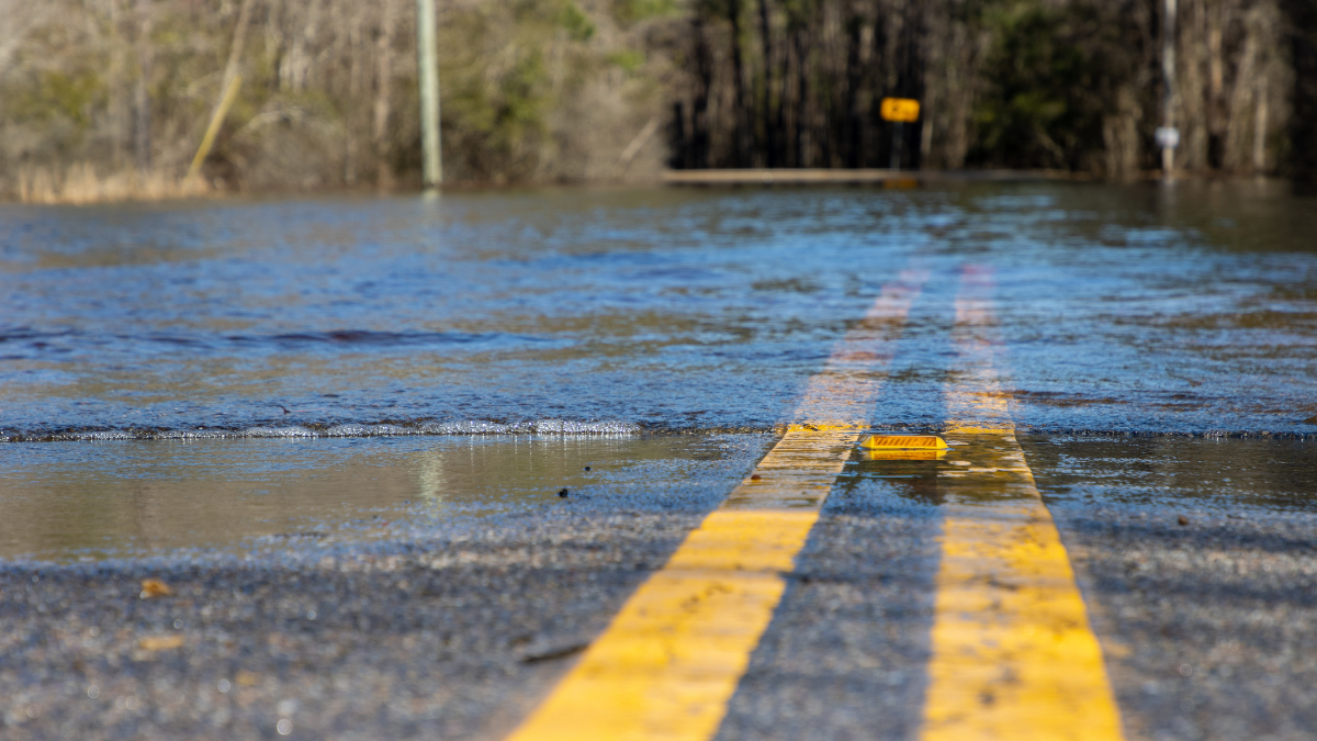
The National Weather Service (NWS) has issued a flood watch for the northern two-thirds of the state. The warning extends until Tuesday night with more rainfall and severe weather on the way later in the week. The weather service advises residents to be ready to take action to stay safe.
John Peck, a meteorologist at the National Weather Service, said that residents along waterways anywhere within the flood area need to practice heightened caution and awareness.
“Anybody that’s in those lower lying areas or has interest along creeks, streams and rivers,” Peck said. “Be advised to move any personal property away from those locations.”
The rainfall could be beneficial for the ongoing fires in the Eastern Panhandle.
“The rain will help moisten up the fields,” Peck said. “Which will reduce the potential for wildfire spread. And it should help any wildland firefighters take care of any issues that are lingering out there.”
The wet front is expected to waver north to south throughout the week, rendering it hard to know where some of the heaviest rainfall will likely occur.
“Just important to know that there will be some potential for some heavy rain out there, perhaps some persistent heavy rain for some locations,” Peck said.
Peck said that as the spring progresses and the larger mountain vegetation, like trees, begin leafing the land will be able to absorb more rain. But now, with only smaller vegetation out of winter dormancy, a lot of the rainfall is still running off the mountain.
“This early in the season where you don’t have all the vegetation active, it’s relatively easy to get some overland flooding when you get some heavier rainfall,” Peck said. “But we do have the grasses active, that’ll take care of some of it, but the trees are still just coming into their own.”