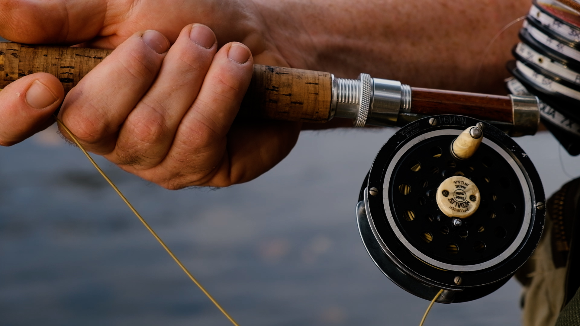
The Mud River has long served as a fishing hub for southern West Virginia. But state health officials now advise that residents limit their consumption of fish from one of its reservoirs due to a mineral contaminant.
On Tuesday, the West Virginia Department of Health implemented a new advisory for the Upper Mud Reservoir. They recommend residents not consume largemouth bass, white crappie, bluegill and green sunfish from the reservoir more than once per week.
The advisory comes in response to heightened levels of selenium detected in the reservoir. Selenium is a naturally occurring mineral that is safe in small doses.
But regularly consuming fish overexposed to selenium can cause health issues like selenosis — a condition linked to nervous system irregularities, fatigue and hair and nail damage.
The state Department of Health said its advisory is especially important for children, women of childbearing age and frequent fish consumers, all of whom are more susceptible to the contaminant.
Fish consumption advisories are updated annually, and will be adjusted as the water conditions change. For now, health officials said spacing out meals that contain fish from the reservoir is an important safety precaution.