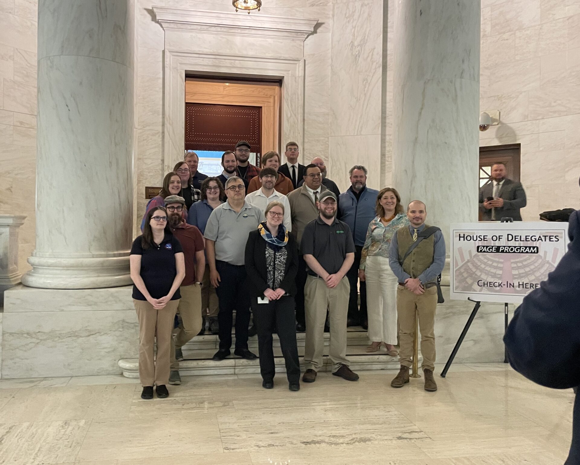
Geospatial professionals from across West Virginia gathered at the Capitol today to teach the public about their field.
Geospatial science is colloquially known as the study of “where,” and examines geography trends. Plus, it can be applied across industries, according to Taryn Moser, state geographic information system (GIS) coordinator with the West Virginia Office of GIS Coordination.
“We are not just maps,” Moser explained. “We work in real estate. We work in banking and business. We work in the DNR. There’s a wide spectrum of disciplines here today, and a wide spectrum of geographic data within the state of West Virginia.”
Today’s displays showed how geospatial science helps professionals make informed decisions in fields like geology and meteorology. Meryl Friedrich, who works for the Division of Natural Resources, said it even helps identify regional trends in wildlife conservation.
“We’ve been doing a lot of citizen science surveys, where we allow the public to report any animals that they see,” Friedrich explained. “Specifically, box turtles, fireflies, hellbenders and mud puppies and river otters are the ones we’re looking at now.”
Friedrich said that the DNR uses geospatial science to analyze trends in citizen science reporting. “It’s really great to get the public involved in those projects,” she added.
Moser and Friedrich both said they hope today’s session helped West Virginians better understand the geospatial resources and opportunities available to them. To view some of these resources, residents can visit the Office of GIS Coordination website.
