The U.S. Department of Agriculture (USDA) Tuesday said it will commit $2,817,600 to help reduce flood risks for communities throughout the Elkhorn Creek and Tug Fork River Watershed.
Elkhorn Creek is a 23.7-mile-long (38.1 km) tributary of the Tug Fork, belonging to the Ohio River and Mississippi River watersheds. It is located in McDowell and Mercer counties.
The portion of the Tug Fork watershed that lies within West Virginia drains lands in McDowell, Mingo, and Wayne counties, encompassing a 932 square mile area.
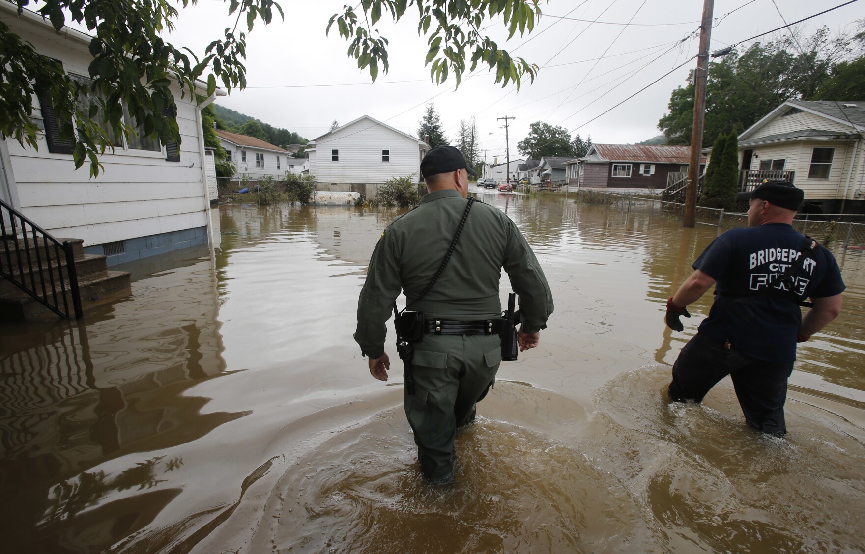
In recent years the state has been hit hard by serious flooding including dangerous flash floods that have resulted in the loss of life and property.
In July, Gov. Jim Justice declared a state of emergency for McDowell County after floods damaged more than 75 homes, 12 bridges and multiple roads.
U.S. Sens. Joe Manchin and Shelley Moore Capito, members of the Senate Appropriations Committee, said the USDA funding will bolster flood protection and increase the safety of the county’s residents.
The money, through the Natural Resources Conservation Service (NRCS), will be used to support the voluntary buyout, demolition and restoration of about 30 properties to restore natural floodplain conditions.
The West Virginia Flood Tool (WVFT) examined flood damage to 128 homes and buildings before recommending the buyout as the most cost effective solution.
The flood tool is an interactive web map application developed by the West Virginia GIS Technical Center. It provides public and official access to flood data about the degree of risk for an area or property.
Residents in the Elkhorn Creek/Tug Fork River Watershed are considered at higher risk of flood damage due to the concentration of real estate development in the floodplain.